Grand Theft Auto V City Flooded to Illustrate Climate‑Induced Sea‑Level Rise
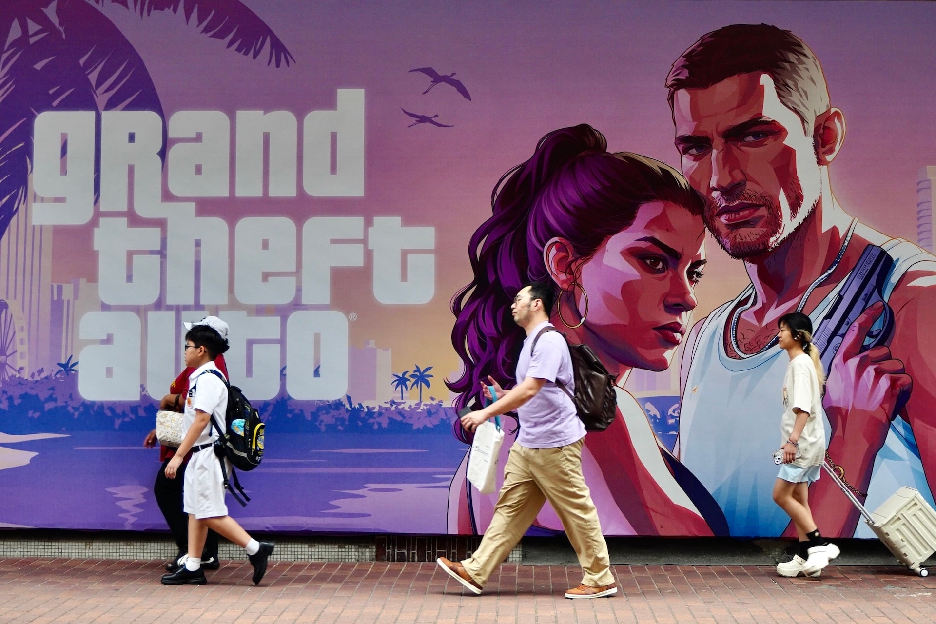
Researchers have employed the widely‑played open‑world title Grand Theft Auto V to craft a vivid visual representation of how swelling oceans could remodel a prominent coastal city. By submerging the fictional Los Santos—an elaborate proxy for Los Angeles—with multiple feet of water, the team sought to turn abstract climate figures into a scene instantly recognizable to gamers and policy makers.
The recent study describing the effort used the game’s advanced terrain engine to progressively raise sea levels, exposing the impact on neighborhoods, highways and iconic landmarks under various warming scenarios. Flood heights were matched to Intergovernmental Panel on Climate Change forecasts, guaranteeing that the virtual water depths align with plausible outcomes for the coming 50 to 100 years.
Beyond the striking visuals, the simulation has an educational aim. The authors point out that many people find it hard to internalize sea‑level rise when it is presented only as numbers. By placing well‑known streets—such as Vespucci’s beachfront and the downtown skyline—under water, the model renders the danger concrete. The research also records which zones would become unreachable, how traffic arteries would be altered, and which infrastructure would endure the greatest stress, offering city planners a rapid visual reference.
Climate‑communication specialists have lauded the method for its approachability. Dr. Maya Patel, a climate scientist not involved in the work, remarked that “interactive visualizations in familiar settings can bridge the gap between scientific reports and public perception.” The investigators echo this view, stressing that the virtual flood is meant as a supplement, not a substitute, for detailed regional analyses. They warn that the game’s simplified physics cannot reproduce every nuance of real‑world hydrology, such as groundwater intrusion or storm‑surge dynamics.
Looking forward, the group intends to apply the technique to additional virtual worlds and to incorporate live data feeds, enabling the model to refresh as new sea‑level projections appear. By releasing the simulation openly, they invite teachers, activists and municipal officials to probe the possible effects of climate change in an interactive format. As the planet confronts accelerating coastal hazards, tools that turn abstract forecasts into vivid, relatable scenes could become a vital component of public discourse.



Comments (0)
Be the first to comment.
Join the discussion