Google Maps Introduces Circle‑Z Symbol to Alert Drivers of Limited‑Traffic Zones
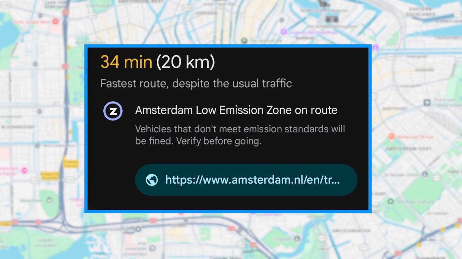
Google Maps now displays a circled capital Z on its turn‑by‑turn directions, warning motorists that they are about to enter a limited‑traffic zone, or ZTL as it is known locally. The addition aims to help drivers steer clear of accidental breaches that can carry steep fines, particularly in historic city centres where access is tightly controlled.
This marker shows up exclusively in the car‑navigation view when a route crosses a defined ZTL perimeter. Such zones are widespread throughout Italy and have also been implemented in parts of Spain, Portugal and other European nations to safeguard pedestrian‑only heritage areas, ease congestion and lower emissions. Access is generally limited to residents, authorised commercial vehicles or drivers holding a special permit during set hours.
Google rolled out the symbol after working with municipal governments and traffic‑management bodies to feed official ZTL data into its maps. The firm says the feature fits into a larger push to supply real‑time compliance cues, akin to its current alerts for toll roads, ferries and low‑emission zones.
For the average user, the circled Z acts as an early warning. Drivers can choose an alternate route before reaching the restricted zone, or tap the icon to see specifics such as operating times, vehicle exemptions and the possible fine for non‑compliance. The option can be turned off in the navigation settings for those who prefer an uncluttered map.
The rollout arrives as tourism across Europe is on the rise, and many visitors depend on smartphone navigation to wander city centres. Authorities have long noted that drivers unfamiliar with local rules are most prone to penalties, since signage may be limited or only in the native language. By embedding the alert directly in the navigation interface, Google hopes to cut down on inadvertent violations and smooth traffic flow.
Although the new icon is a useful aid, specialists warn it does not replace on‑ground signage or the driver’s duty to stay informed about regional traffic regulations. Users should verify any restrictions, especially during peak tourist periods when temporary closures or altered hours might be in effect. As mapping platforms continue to add finer‑grained regulatory data, the circled Z could become a common sight for anyone traversing Europe’s historic streets.



Comments (0)
Be the first to comment.
Join the discussion