Satellite Imagery Enhances Casualty Figures, Providing a More Complete Picture of Contemporary Wars
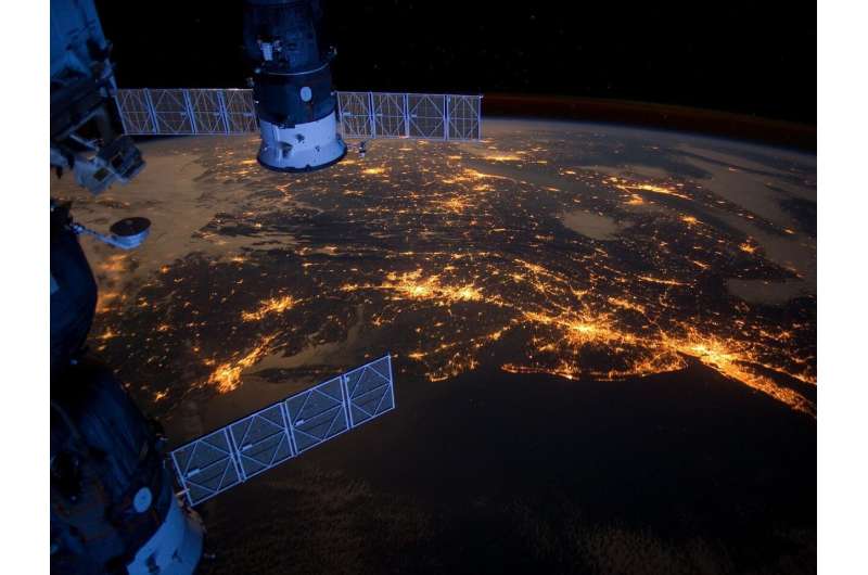
Researchers publishing in Nature contend that using only casualty counts gives a partial view of warfare. By merging satellite pictures with conventional on‑the‑ground reporting, they claim analysts can reveal trends in population movement, damage to infrastructure and battlefield shifts that mere death statistics overlook.
Valerie Sticher, the study’s lead author, together with her colleagues, examined multiple information streams—casualty databases, news reports and high‑resolution satellite imagery—to craft a framework that cross‑validates and augments each dataset. Their approach stresses synchronizing timelines, enabling analysts to observe how spikes in combat manifest as tangible ground changes, for example scorched settlements or newly‑established refugee pathways.
To demonstrate the method, the researchers turned to the conflict in Ukraine, a theater where official fatality figures differ markedly among state agencies and NGOs. Satellite snapshots documented the swift growth of artillery sites, the wreckage of power substations and the appearance of ad‑hoc camps near the front lines. Correlating these visual markers with casualty reports revealed that certain fierce engagements yielded modest confirmed death tolls yet generated massive displacement and substantial infrastructure devastation.
The second case study examines Myanmar’s long‑standing civil turmoil. In areas where reporters encounter heavy curbs, satellite surveillance uncovered a pattern of village burnings and the erection of makeshift detention centers. Such imagery supplied proof of rights abuses despite official casualty numbers staying low or being intentionally under‑stated.
Sticher concludes that governments, aid organisations and news organisations would gain by regularly coupling satellite observations with casualty data. This dual perspective aids in spotting new flashpoints, directing assistance more effectively and pursuing accountability for violators. With satellite hardware growing more affordable and widespread, the authors anticipate that near‑real‑time imagery will become a routine element of conflict surveillance, supplementing—not supplanting—conventional reporting.


Comments (0)
Be the first to comment.
Join the discussion